With every trip that Shelley and I take, I always learn something new. Our Pacific Northwest Coast Road Trip was no exception. While I was performing my normal pre-trip research I built a list of places that I wanted to photograph. I then planned out the route according to those places and took into account the places that Shelley had found for us to stay at. I’ll talk more about my pre-trip planning process in another post later. For this post a would like to talk about the unknowns or things that I learned while in the field and on the road. The following are my top 10 takeaways from photographing the Pacific Northwest Coast.
Tides
This was our first-time truly focusing on photographing coastal locations. I knew in advance that the tides would play a big part in the trip. What I did not fully understand was how much influence the tides would hold on my ability to find compositions with the limited time that we had in each location.
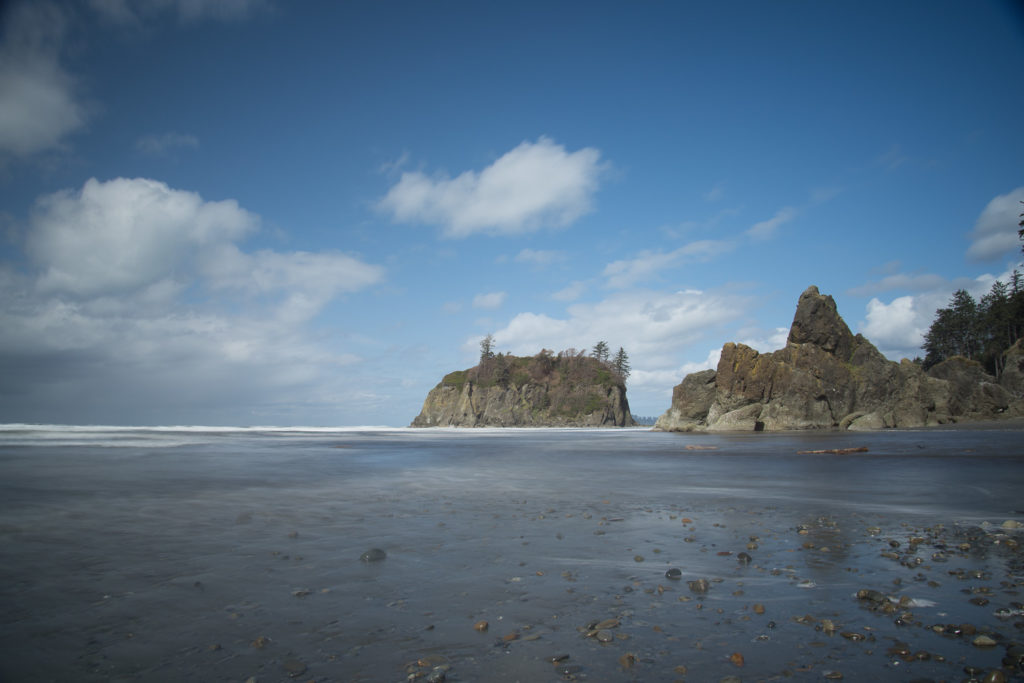
Here are a few of the links that I found helpful in determining the tides for various locations while photographing the Pacific Northwest coast.
- NOAA’s Tides and Current https://tidesandcurrents.noaa.gov/map/index.html
- Cape Disappointment, Oregon https://tidesandcurrents.noaa.gov/stationhome.html?id=9440581
- La Push, Quillayute River, Washington https://tidesandcurrents.noaa.gov/stationhome.html?id=9442396
- Fort Bragg, California https://tidesandcurrents.noaa.gov/stationhome.html?id=9417426
- https://www.usharbors.com/harbor/washington/seattle-wa/tides/
- https://www.tides.net/washington/
I would also like to point out that most of the visitor centers along our route had printed tide charts available.
Weather
While Shelley and I both expected to have rain, fog, and snow at elevation. We did not expect the weather to change as quickly as it did on the trip. I love photographing in different weather conditions. Some of my best and favorite photographs are made in conditions when most people would rather be curled up by a fire. For me, photographs tell a story of the place and time. These stories need to have drama in them. This drama comes from the elements. The clouds in the sky being whipped around through the blue sky, the waves crashing against the shore, the ocean calm as glass while clouds rush by the lens.
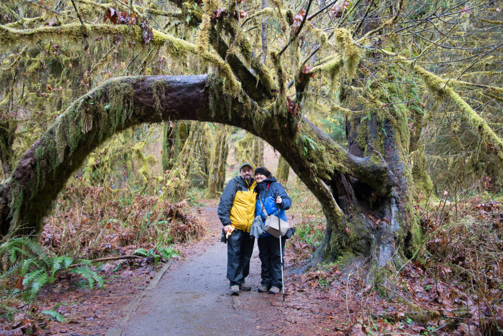
While Shelley and I were photographing the Pacific Northwest coast the weather presented me with many opportunities and challenges. The photograph below of Shelley and I shows us in our rain gear on. While it may not look fashionable it served its purpose on multiple days. Staying dry and comfortable while on a photographic road is a must. Otherwise, all that you will want to do is go back to the car to warm up and dry out.
For our trips, I rely on the following weather apps on my phone or iPad when the field.
- Windy
- WeatherBug
- Storm Radar
When Shelley and I have access to wifi I will use the national weather services website (https://www.weather.gov/) for forecast data as well as windy.com (https://windy.com/).
Location Availability
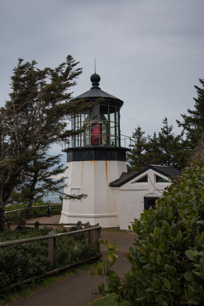
The thing that I was not prepared for was the fact some of the locations where I would have loved to photograph sunset closed 30 minutes to an hour prior to sunset. While a couple of the locations allowed for you to hike in from a mile or two away. The simple fact that we were crunched for time each day of the trip made that impossible. For a good example read my post about Cape Meares and Cape Kiwanda (https://craigniesen.com/part-10-cape-meares-lighthouse-and-cape-kiwanda-in-passing/) both of which I really want to go back to.
Another great example of location availability would be Point Bonita in the Marin headlands (https://craigniesen.com/part-20-san-francisco-and-point-bonita-lighthouse/). Although this is one mainly my own fault, because of a lack of planning for the end of the trip.
Mapping vs Actual Drive Time
While photographing the Pacific Northwest Coast Shelley and I found that Google Maps, Waze, and Apple maps would all offer us false hope. It wasn’t that they did not all give good directions. I was simply the fact they all would give incorrect travel times to destinations when mountain switchbacks were involved. The worst of these was when we were driving from Avenue of the Giants to our lodging for the night in Westport California.
All of the apps estimated 20 to 30 minutes for the drive time. In reality, it took more like 60 to 100 minutes to reach the location.
Attendance at Some of the Locations
I was shocked by the number of people that Shelley and I ran into at some of the locations while we were photographing the Pacific Northwest Coast. For some reason, I just did not expect to see the sure number of the people along the Pacific Coast during the early spring.
I know that videos and photographs do show many people other than myself and the occasional glimpse of Shelley. This happened only because of my use of filters and my patients waiting out others who were enjoying the coast.
At some locations, other visitors would ask me about the equipment that I was using to make the photographs. Mainly I had to answer questions about what was attached to the front of the camera’s lens.
Topology
While I was in the planning stages for this trip I knew that the topology or terrain of the Pacific Northwest can vary greatly. The only that I did not take into account was that various apps that I use to get sunset and sunrise times do not take the landscape or terrain into account.
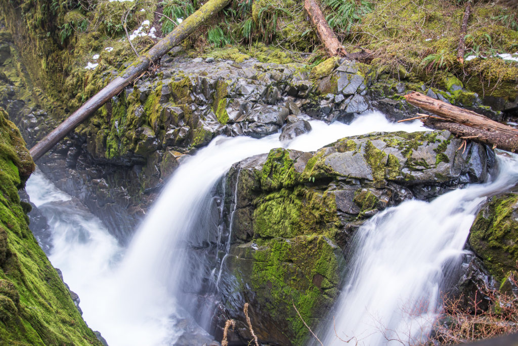
One of the times that this was most evident was our hike back to Sol Duc Falls in Olympic National Park. If you have not read the blog post about the day exploring the waterfalls of Olympic National Park you can so by clicking on the following link https://craigniesen.com/part-4-waterfalls-of-olympic-national-park/.
Scale
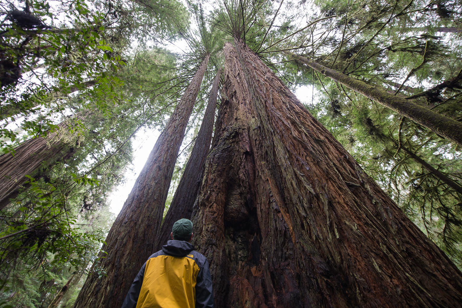
I have always known that I’ve wanted to photograph the Redwoods and rainforests of the Pacific Northwest. I never truly understood the complexity of the task until I was face-to-face with that first Redwood.
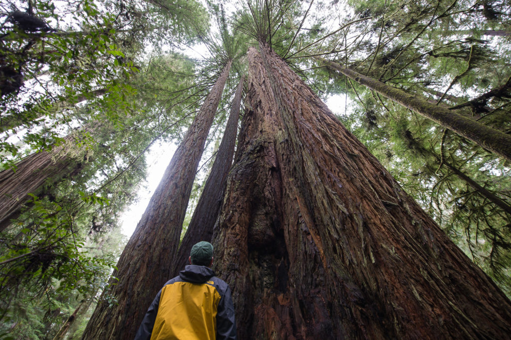
Scale is something that is not always easy to show. Sometimes you need a good point of reference. This adds both depth and reality to the photographs of things that are hard for us to grasp if have never seen the subject before. For about how I photographed the Redwoods click the following link https://craigniesen.com/part-16-redwoods-national-and-state-parks/.
Filming and Photographing
The one major change that I undertook on this trip was filming video. At first, I wanted to create the story of the trip totally in the field. It was in Seatle that remember why I was on the radio and not on the Television. I have issues talking to a camera when others are around. Yea I know it seems counter-intuitive to me wanting to start up a YouTube Channel (https://www.youtube.com/channel/UCVEf9aXoQMPTAVTztNkNIxg), but I am working on getting over it.
There were points on this trip that I wanted to give up and I forced myself to at the very least film b-roll. I did this knowing that I would still have the chance to talk about my photography and the trip once I was home.
Shelley and I have taken a few more trips since our Pacific Northwest Coast Road Trip. And I both the videos and photographs to prove it. Oh, there will be more videos. It is just a matter of time.
Planning is one thing, doing is Another
The number two takeaway from photographing the Pacific Northwest Coast was planning and having a backup plan. This was the first trip that I planned out every location that I wanted to photograph. I even went so far to build out a list of plan b locations. This was done just encase the weather and conditions did not allow for plan a to be photographable.
With past trips, Shelley and I would look at a map chose general areas or National Parks that we wanted to see and photograph in general. While “happy little accidents” are great. I now plan as much as possible. It makes the whole process more enjoyable.
The Beauty
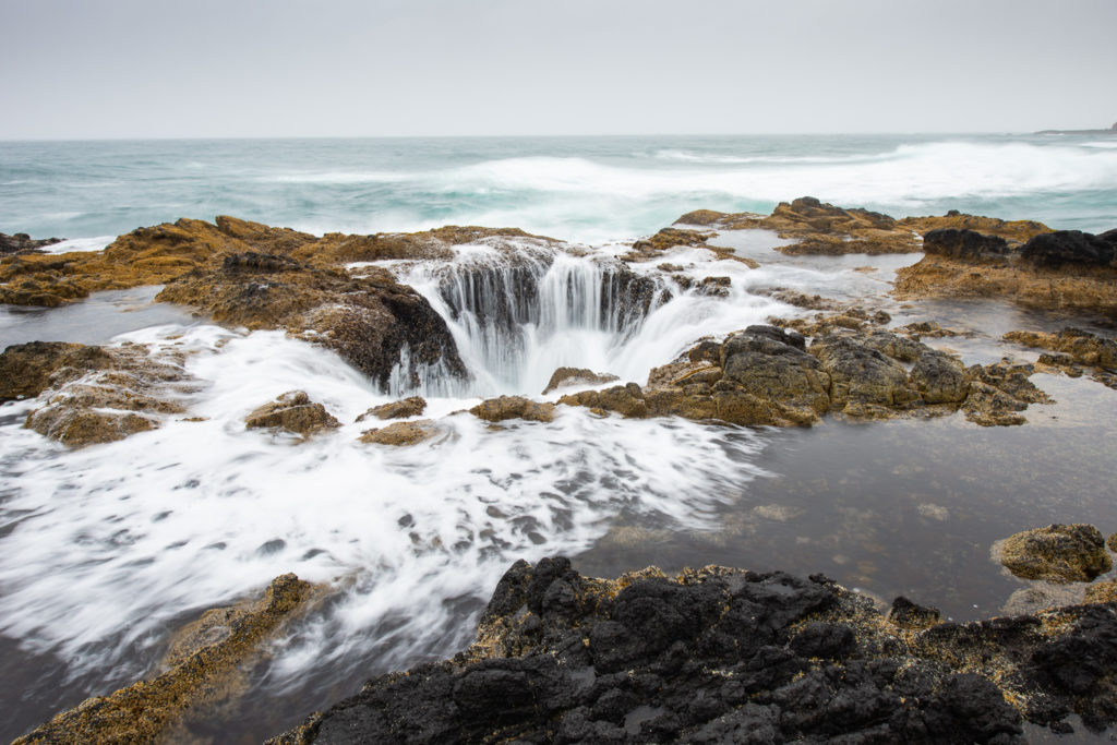
The number one takeaway from photographing the Pacific Northwest Coast would be the beauty of it all. Yes, the photographs and videos that I have seen and made are great. Sometimes you just need to get out there. And explorer the landscapes, the coastal communities, and the tidal pools for yourself. I am so glad that Shelley and I did. We made memories that will last a lifetime.
The Wrap Up
Congrats on making to end this long post. It shows a commitment, or just maybe you planning your own trip photographing the Pacific Northwest Coast. If you have made it this far and not yet done so please read my photography travel blog or head on over to my YouTube Channel (https://www.youtube.com/playlist?list=PLjFSKB0S3cnp1ksjpWJyMxxVLEvsq0jbd). Thank you again for taking the time to follow along.

